grayscale heightmaps
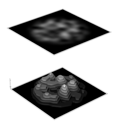
A heightmap is a grayscale relief that represents landscapes or surfaces. Dark shades indicate low areas and light shades indicate high areas. The height accuracy depends on the colour range of the image. A grayscale image with an 8-bit colour range contains 255 shades and one with 16-bit colour range contains 65'535 shades. The resolution determines the accuracy of the area. A pixel is the smallest representable length, which corresponds to a certain measurement in the real world. Heightmaps based on data from satellite surveying and aerial photography are available for the entire surface of Earth.
Show all